

Millstone path
saint-crepin-de-richemont
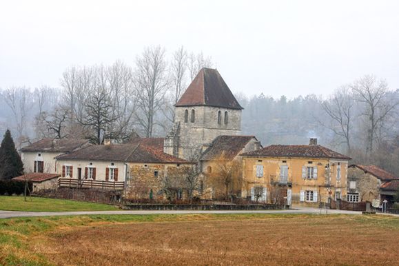
From the church, continue along the road on the left, then go straight on to follow the exit for “La Pouyade” (where we can find a pond), once at the cemetery, climb up the road.
After passing the dwellings, turn right and stay there 2 times, then turn left and pass in front of the Château de Puycheny (point of interest on the walk). At the next bend in the road, continue along the Chemin de la Lardie.
Then, after this hamlet, take the track on the right and continue straight ahead.
At the house (water reservoir), take the road on the left, pass two roads on the right and take the 3rd road towards Bargeix.
In this hamlet, take the path on the right and then continue straight on, not taking the path on the left.
At the crossroads, turn right. At the end of the road, turn left, go down and take the path on the right.
Stay on the widest path, then before the houses turn right and head left on the road for 400m.
Take the path to the right called “Boucle de Champeaux”, when you reach a field turn right, at the power line continue left this time.
Follow the road to the left and then to the right. At a crossroads, turn right towards a residential area.
Once you reach the road, take the path on the right and pass Nadallière (where there are some beautiful houses). At the end of this area, take the path on the right at the corner of a house. Go down into the undergrowth, then continue along the road on the right towards Les Bernardières.
After the bend, take the path on the right and follow it until you reach point 1.
Finally, turn right to return to Champeaux.